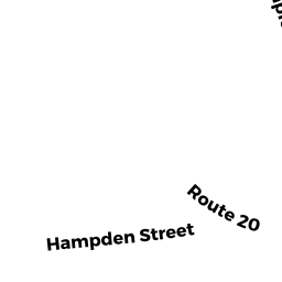
306 ROUTE 20
Owner Information
PEASE JOHN K
P O BOX 122
CHESTER, MA 01011


Property Details
306 ROUTE 20 is classified as a Mixed Use (Primarily Residential, some Commercial) (Cl).
There are 1,858ft2 of built area within this property. There is 3,320ft2 of residential/living space within this property.
306 ROUTE 20 is valued at $247,300. The land is valued at $15,800 and the structures are valued at $231,500.
This property is in Zone CO. Confirm with local Zoning Board authorities to ensure there are no overlays or other easements on this property.
The most recent deed for 306 ROUTE 20 is recorded at the local registrar in Book 18541, Page 226. 306 ROUTE 20 was last sold on Wednesday, November 10, 2010 for $100.
Assessment data from fiscal year 2022.
Flood Data
This property is completely within the AE Zone (within floodplain).
A portion of this property is denoted as being within a floodway.
This information is sourced from the FEMA National Flood Hazard Layer. See our full disclamer.
Broadband Internet Providers
| Provider | Type | Bandwidth (mbps) | |
|---|---|---|---|
| Viasat Inc | Satellite | 35 | 3 |
| VSAT Systems, LLC. | Satellite | 2 | 1 |
| HughesNet | Satellite | 25 | 3 |
| GCI Communication Corp. | Satellite | 0 | 0 |
| Comcast | Cable | 1000 | 35 |
| Verizon New England Inc. | DSL | 15 | 1 |
Broadband service provider data from December 2020.